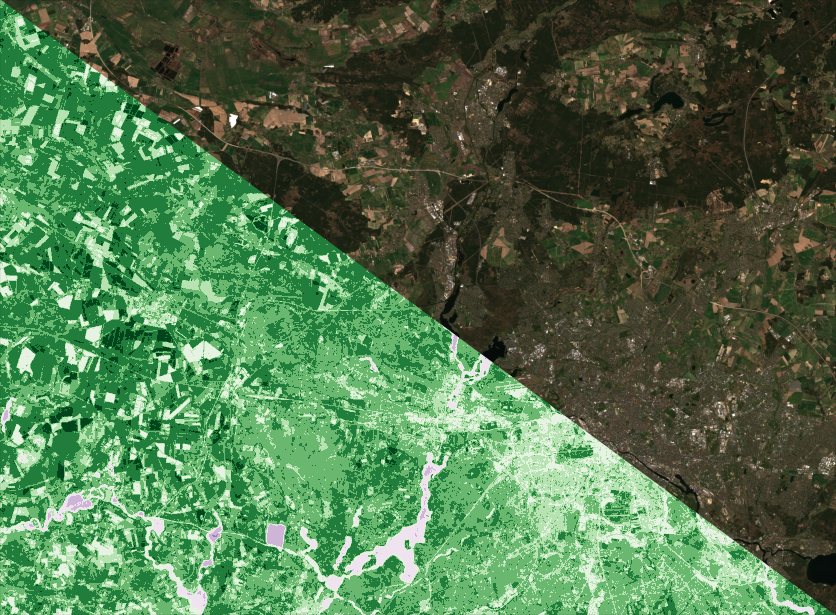
We propose a project that uses Sentinel satellites data, from the European Union Copernicus Earth Observation Program, in order to monitor and control the process of land degradation, especially in remote areas. The use of artificial intelligence techniques, alongside image analysis algorithms, can fully automatise the land degradation detection process, making possible the detection of land degradation since the initial and reversible phases. Monitoring the land degradation could be a major step towards a more responsible use of soil and natural resources. Controlling factors such as urbanization and deforestation may help government to enforce the law. The data we use is totally free and it was recently used in similar scenarios, e.g. to monitor the effects of the recent floods in Spain and Iran.

Team
Project Lead: Gabriele Graffieti
Members: Philipp Wicke
Are you interested in this project? Contact us at research@46.101.110.35


